|
|
Warren County Genealogical Society
Warren County, Ohio
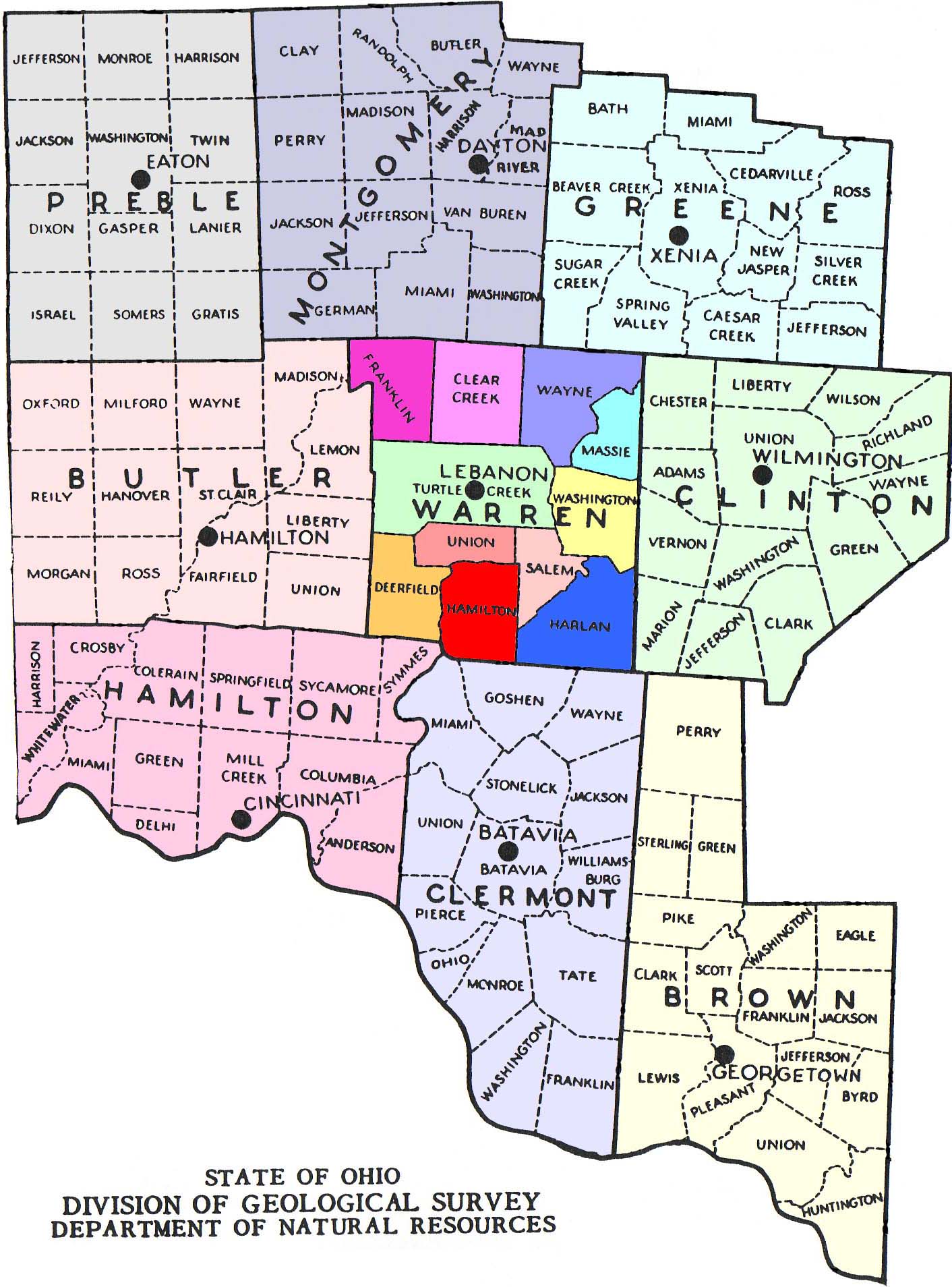
Warren County Area Map
This is a clickable map of area surrounding and including Warren County from the maps of 1932 platbooks. These maps have been selected to give you an idea of where towns, cemeteries, roads and other important landmarks are located within each township. Click on the appropriate township in Warren County and you will be redirected to that township map. You may also click on the surrounding counties and you will be redirected to the USGenWeb site for that county. We have many more maps than what you see here. To access these other maps, please visit our library, or contact our research department listed on the About Us page.
|
|
©2003 Warren County Genealogical Society
For non-commercial use only
This page was last updated on 4/27/2003