|
Cemetery Name |
Brannock |
|
Variant Name(s) |
A 1955 vintage USGS 7.5 Minute Topographic Map has the
location labeled as the Murray Farm Cemetery
[incorrectly?] The same map shows the
Brannock Cemetery as south of there
on the property at
5466 Gard Road which OGS has labeled as Unnamed Wayne Twp Cemetery
#12333.
These cemeteries are not identified this way on
newer USGS maps and it is thought that it may have been a labeling
error on the 1955 map. |
|
Township |
Wayne |
|
Status |
Abandoned |
|
First Known Burial |
1840 |
|
General Condition |
Endangered |
|
Tombstone Condition |
Very Poor |
|
OGS Cemetery # |
12326 |
|
Location: |
From Corwin Road, go east on Elbon Road, around the
curve to the house at 5101 Elbon Road on the right. Turn left before the
mailbox at 5141 Elbon Road and park in the field. You then have to walk
through the field and enter the woods directly in the center and go a
little ways to get to the bowl shaped area where the cemetery is located.
|
|
Coordinates: |
39° 28' 51''N, 84° 6' 10''W GPS coordinates
read at gravestone on 24 Oct 2009.
Other coordinates that have been used elsewhere are listed below for reference
purposes
39° 28' 56.94"N, 84° 6' 09.69"W from OGS
39° 28' 58"N, 84° 6' 11"W from GNIS |
|
STR/ VMD |
528 |
|
Property Account: |
7604599 |
|
Parcel ID: |
09094000040 |
|
Map: |
GIS Map of Location Plat
Map Township Map
|
|
Cemetery
History |
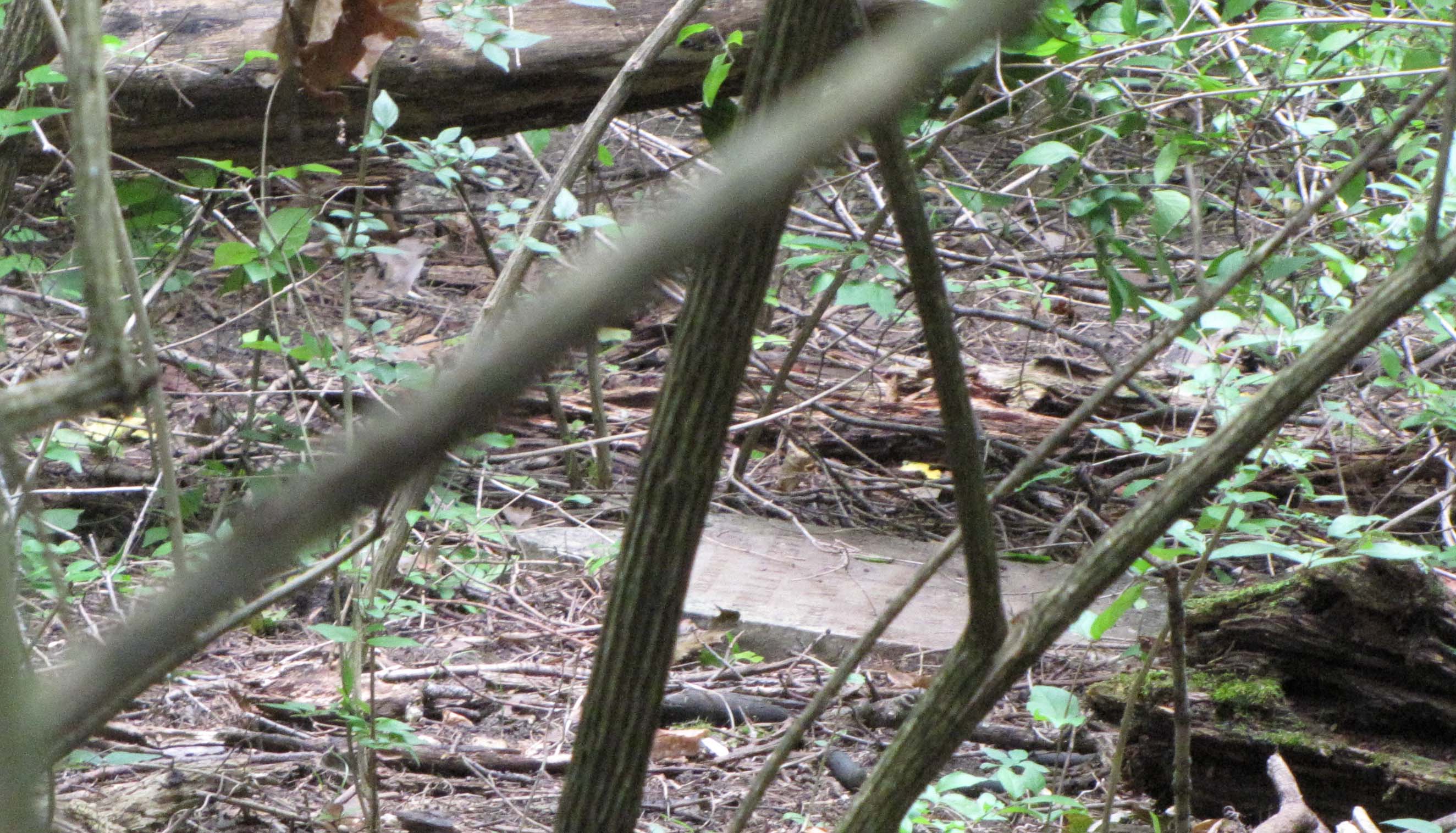
This is an old, abandoned farm cemetery located in a wooded area
on private property at the edge of a field on the north side of
Elbon Road in Wayne Township. The Brannock family bought the land back in the
1920s which is considered the source of the name. The current owner recalls
other stones being in the cemetery and says they were stolen many years ago. |
|
Cemetery
Transcriptions |
|
|
Gravestone Images |
Gravestone photos for the Warren
County, Ohio Virtual Cemetery Project are being posted to the
Warren County OHGenWeb Project
To view images ===>
Brannock Farm Cemetery
To submit images ==> email to
Arne H. Trelvik at
atrelvik@gmail.com [please send high resolution digital images if
available] |

![]()

